

Polish scientists have reconstructed more than two centuries of daily water levels on the Vistula in Warsaw, bringing together 82,453 observations dating from 1799 to 2024 into a single continuous record that researchers say is exceptional on a European scale. The series reaches from the closing years of the Little Ice Age through industrialisation and the transformation of Warsaw to the modern era of climate change.
The project was carried out by researchers associated with the Institute of Geography and Spatial Organization of the Polish Academy of Sciences, Warsaw University of Life Sciences and independent researchers. Their peer-reviewed study was published in Earth System Science Data on 26 August.
The resulting series begins on 1 February 1799 and ends on 31 October 2024.
- Find more news from Poland on our Homepage .
Its significance is not simply its age. Scientists had to turn observations collected under radically different measurement systems, governments, technologies and physical river conditions into data that could be meaningfully analysed together.
Lead researcher Łukasz Sobechowicz told Nauka w Polsce that the harmonised daily series for such a large river was unusual on a European scale, with comparable long-running records available for only a small number of rivers such as the Rhine.
The scientific paper is more cautious about comparisons. It describes the Warsaw observations as potentially one of Europe’s longest hydrometric records, while noting other two-century series from the Rhine and Rhône.
Measurements began with a gauge on a wooden bridge
Daily observation of the Vistula in Warsaw began when the city looked very different from today.
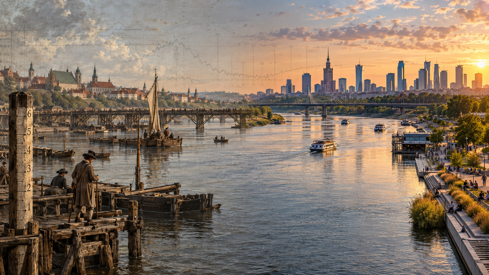
The first gauge was installed beside the wooden Poniński Bridge near what is now the extension of Bednarska Street. After the permanent Kierbedź Bridge opened in 1864, measurements moved there. The official observation point was relocated several more times during the following century before measurements returned to the Warsaw boulevards area in the 2010s.
The earliest surviving measurements from 1799 to 1860 were later collected and standardised by Polish engineer Wilhelm Kolberg, whose 1861 publication brought together daily observations and records of river freezing from Warsaw and other points on the Vistula.
Kolberg had worked on projects including the Augustów Canal and Warsaw–Vienna Railway and regarded systematic river observations as essential for navigation and hydraulic engineering.
The trail then becomes a remarkable piece of archival history.
Researchers drew on Polish publications, Russian hydrological yearbooks, German records and handwritten documents held in state archives in Płock, Toruń and Gdańsk. From 1919 onwards, much of the material came from Polish hydrographic yearbooks, while observations from 1981 to 2024 were available digitally through the Institute of Meteorology and Water Management.
Feet, inches, calendars and moving zero points
Combining those records was far more complicated than copying numbers into a spreadsheet.
Over the 225-year period, Warsaw’s Vistula measurements used Warsaw, Dutch, New Polish, English Imperial and Russian units before a consistent metric system was introduced during the First World War.
Researchers also had to correct for changes between the Gregorian and Julian calendars. Records from 1799 to 1879 used the Gregorian system, while Russian publications covering 1880 to 1910 used the Julian calendar — creating offsets of 12 or 13 days depending on the period.
Even the meaning of “zero” on the river gauge changed repeatedly.
In 1834, the gauge reference was tied to a high-water mark from the great 1813 flood. Later adjustments followed changes in surveying systems, gauge locations and, eventually, the physical lowering of the riverbed. When measurements moved to Praga Port in 1958, the reference level was lowered by two metres.
That history is why simply comparing a reading from 1800 with one from 2020 can be deeply misleading.
Scientists filled more than 2,300 missing days
Despite the extraordinary longevity of the archive, it was not complete.
The researchers identified 2,374 missing days, equivalent to about 2.9% of the full series. One of the largest gaps began in December 1815 after an ice jam destroyed the bridge and the gauge beneath it. Another extended from July 1914 into October 1915 during the First World War.


To reconstruct longer gaps, the team compared Warsaw with downstream Vistula gauges at Toruń and Cypel Mątowski and used Long Short-Term Memory, or LSTM, machine-learning models capable of recognising patterns in sequential data.
The researchers emphasise that this was reconstruction rather than prediction: the models used known measurements elsewhere on the river to estimate missing historical observations in Warsaw. Short gaps were also handled using interpolation methods.
The process is not presented as perfect.
The study found greater uncertainty in some early periods and during winters affected by ice. In particular, reconstructions for parts of 1804, 1805, 1809 and 1815 should be treated cautiously because ice conditions could distort the relationship between water levels at different gauges.
Why a lower water level does not necessarily mean less water
One of the most important conclusions of the project is also a warning about how the dataset should be used.
A water-level measurement is not the same thing as the amount of water flowing down the river.
Warsaw has dramatically reshaped the Vistula over the past two centuries through urban development, flood defences, infrastructure and the extraction of sand and gravel. The river has been confined into a narrower corridor and its bed has progressively deepened.
The effect can be dramatic.
Research cited in the new paper found that at the same low-flow discharge of 150 cubic metres per second, the corresponding measured water level in Warsaw was 205 centimetres lower in 2010 than in 1919. The researchers attribute that difference to changes in the channel rather than simply to less water entering the river.
Sobechowicz therefore warned against taking the entire 225-year sequence and treating the earliest and latest gauge readings as directly comparable.
As he explained in the Nauka w Polsce interview, the position of the riverbed changes over time and the Warsaw channel deepened substantially during the 20th century.
The scientific paper goes further, explicitly warning that long-term trends in recorded water level should not automatically be interpreted as equivalent trends in river discharge or evidence of climatic drying.
What the record can tell scientists
That does not diminish the value of the archive.
Instead, researchers say it creates a foundation for much more detailed work on the chronology and duration of floods, low-water periods and other hydrological events, particularly when comparisons are made within periods when the river channel was relatively stable.
Its daily resolution also makes it possible to combine the Vistula record with historical weather, population and economic information to investigate how Warsaw and its residents responded to floods, droughts, ice and changes in the use of the river.
The dataset also captures an extraordinary period of environmental history — from observations taken with simple gauges in the late 18th century to modern electronic instruments recording river conditions automatically.
Researchers say the next challenge is reconstructing historic river discharge, rather than water level alone.
Dariusz Brykała of the Polish Academy of Sciences explained that doing so requires information not only about the height of the water but also the geometry of the river channel and the speed of the flow. Historic plans of the Vistula discovered during the project may eventually help scientists make those calculations.
The complete Vistula dataset has been made openly available for other researchers to use.
For Warsaw, it means that more than two centuries of daily observations — scattered among old books, imperial yearbooks, handwritten archives and modern databases — can now be studied as one record.
And because the series begins in 1799, virtually every major transformation of modern Warsaw has taken place with somebody, somewhere, recording what the Vistula was doing that day.